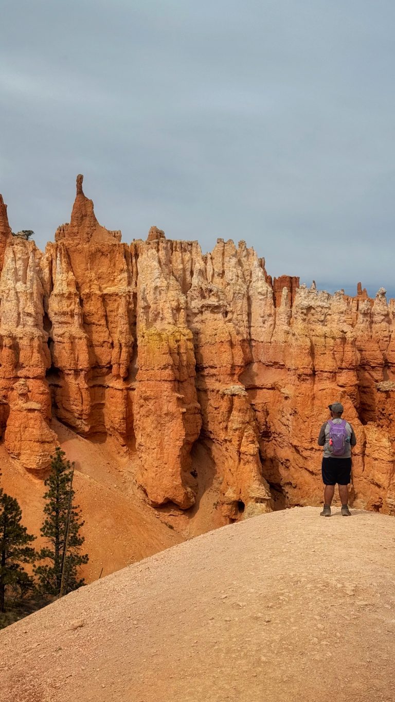
16 Incredible Hiking Trails in Big Cottonwood Canyon, Utah
These 16 hikes are the true highlight for anyone looking to explore the most beautiful hiking trails in Big Cottonwood Canyon, whether you’re after a quick, short hike or an extended day on a scenic trail.
Growing up in the Salt Lake Valley, the Cottonwood Canyons always felt like a secret waiting to be uncovered. Living in poverty meant we only saw glimpses of the canyon, maybe once or twice a summer. We didn’t drive past its infamous “S-curve” until I was 15.
Since then, I’ve seemingly explored every inch of the canyon, yet I continue to discover new hidden gems. I could list over 50 unique routes, but I’ve distilled down the best hikes that deliver the most incredible views and memorable moments. Let’s dive in!
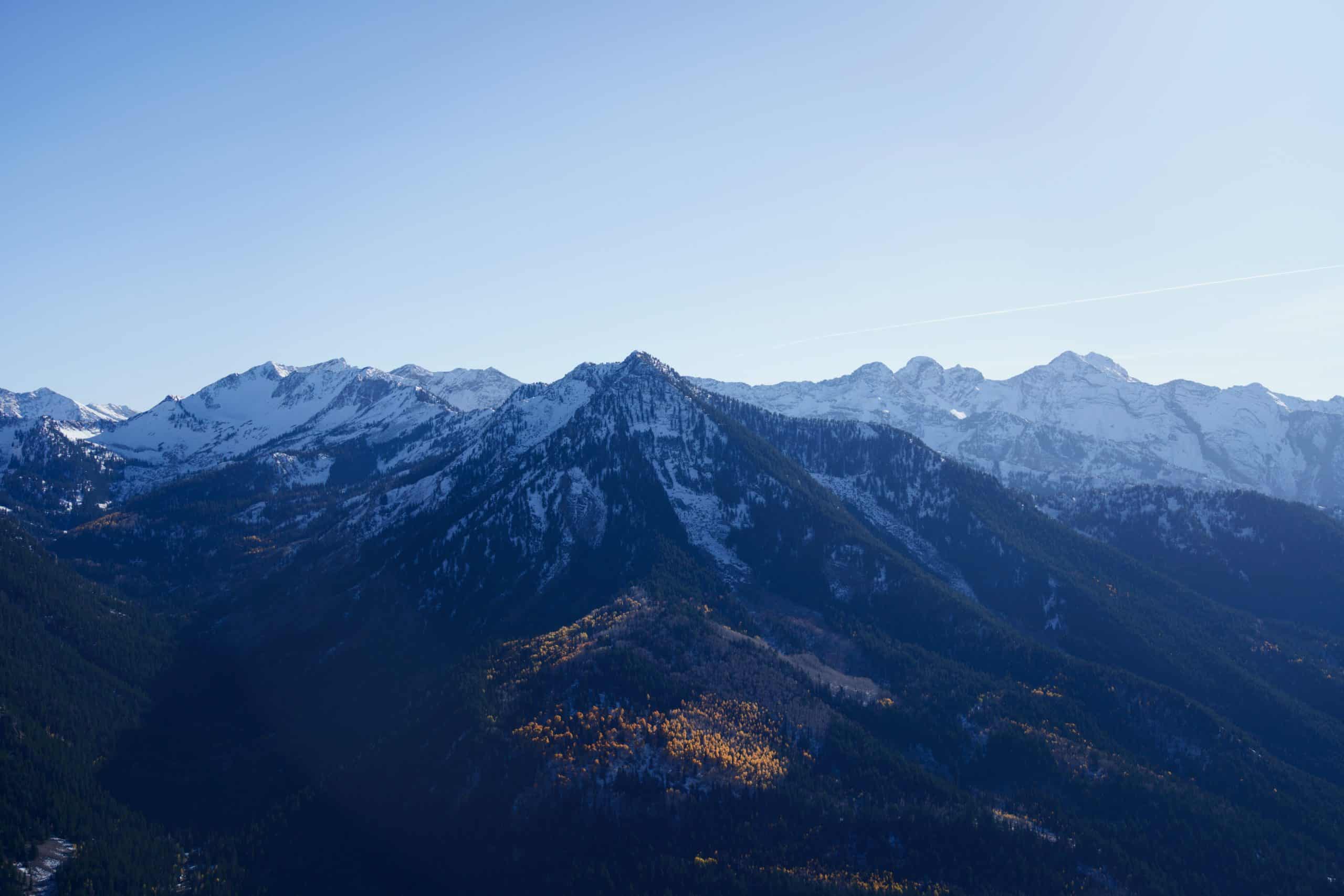
Easy Hiking Trails In Big Cottonwood Canyon
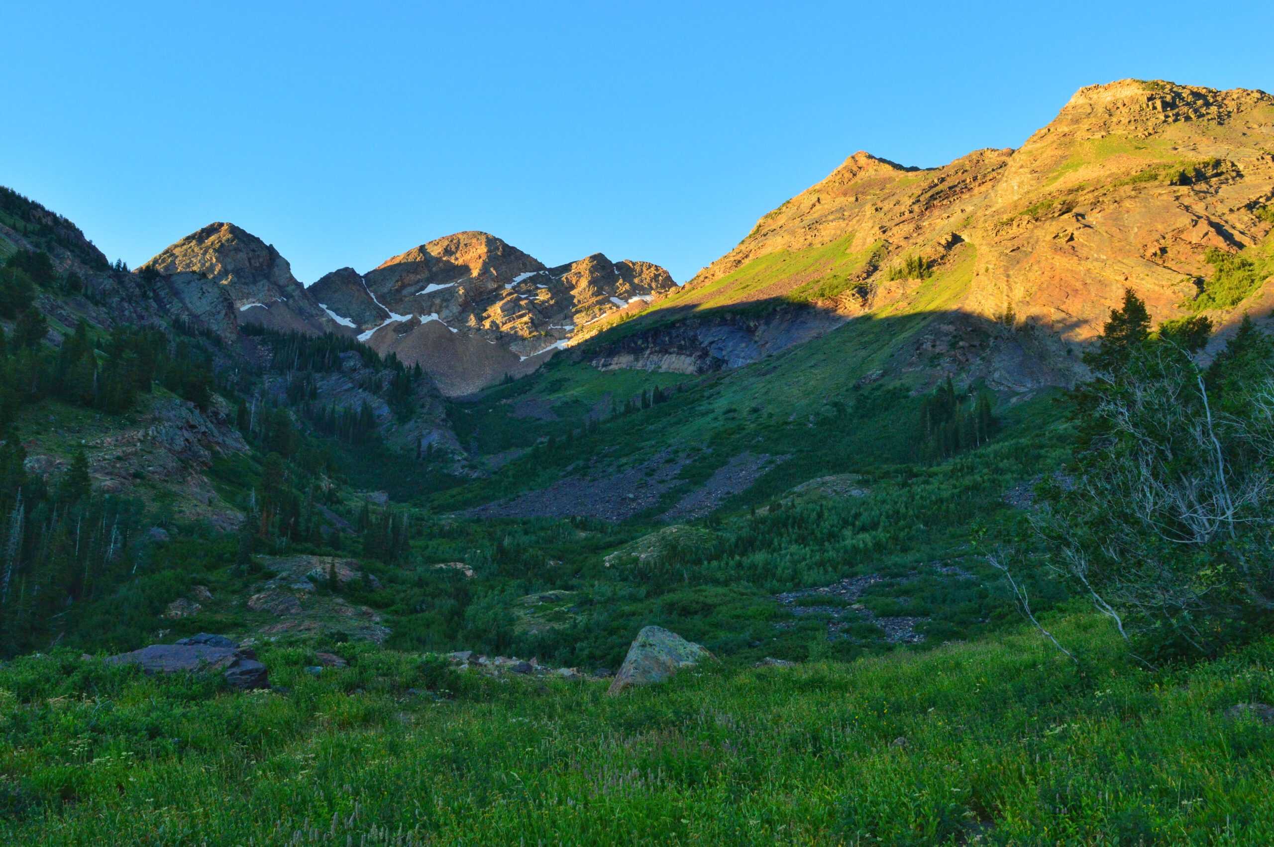
These three great introduction hikes don’t require a large time commitment and pay off with incredible views and waterfalls, making them the best short hiking trails in the canyon. They’re listed in order as you drive up.
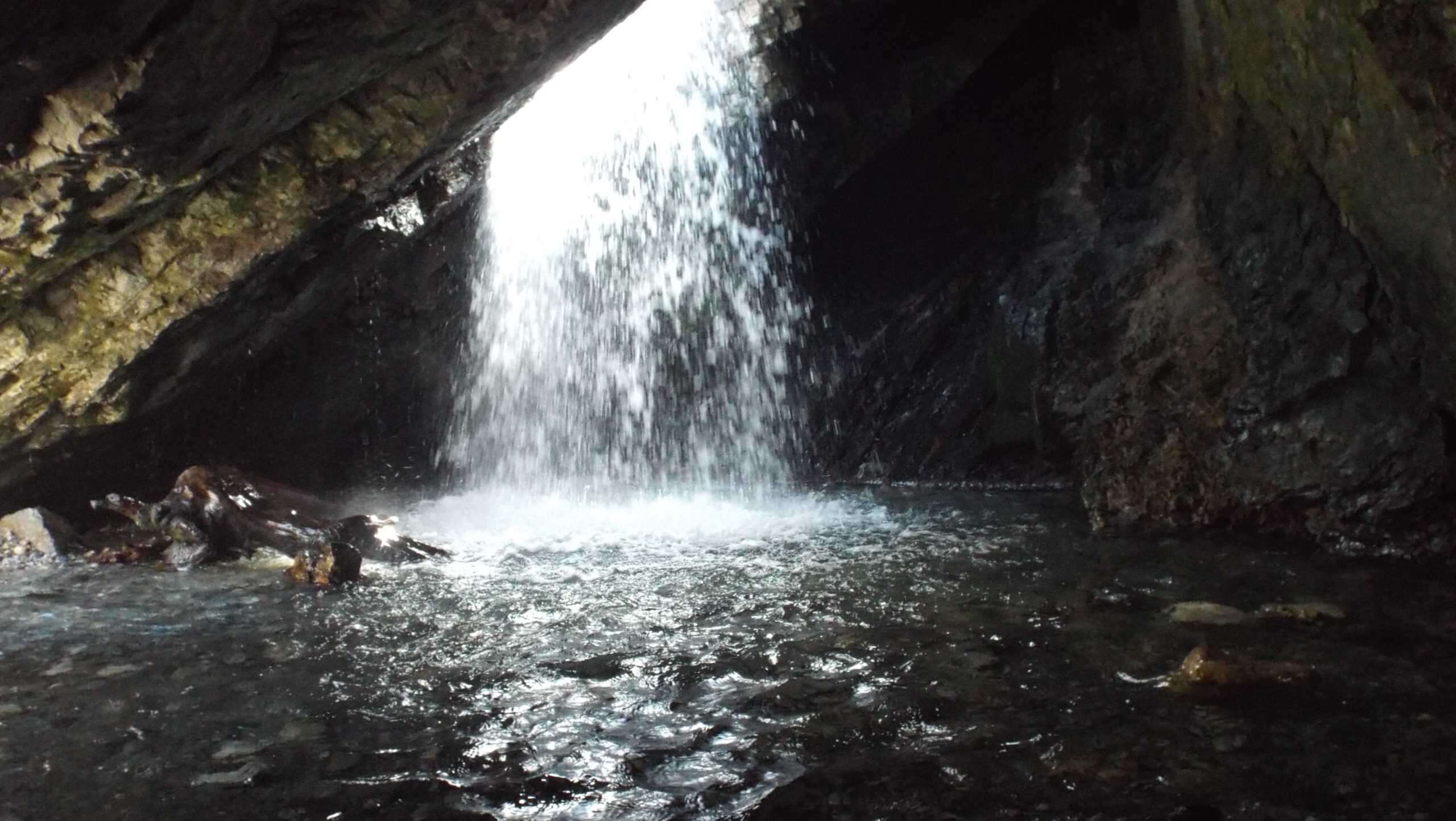
1. Hidden Falls
This isn’t so much a hike as it is a short walk to a surprisingly impressive waterfall. To reach it, you’ll first walk up some wooden steps and then cross the canyon road at the top of the well-known “s-curve.” This is tricky because there’s no crosswalk here.
From there, you’ll cross the stream or carefully walk across a fallen log, which can be tricky when water levels are high. A short walk from there gets you to the waterfall. This waterfall is a small detour off the Mill B North Trail, and I usually combine the two.
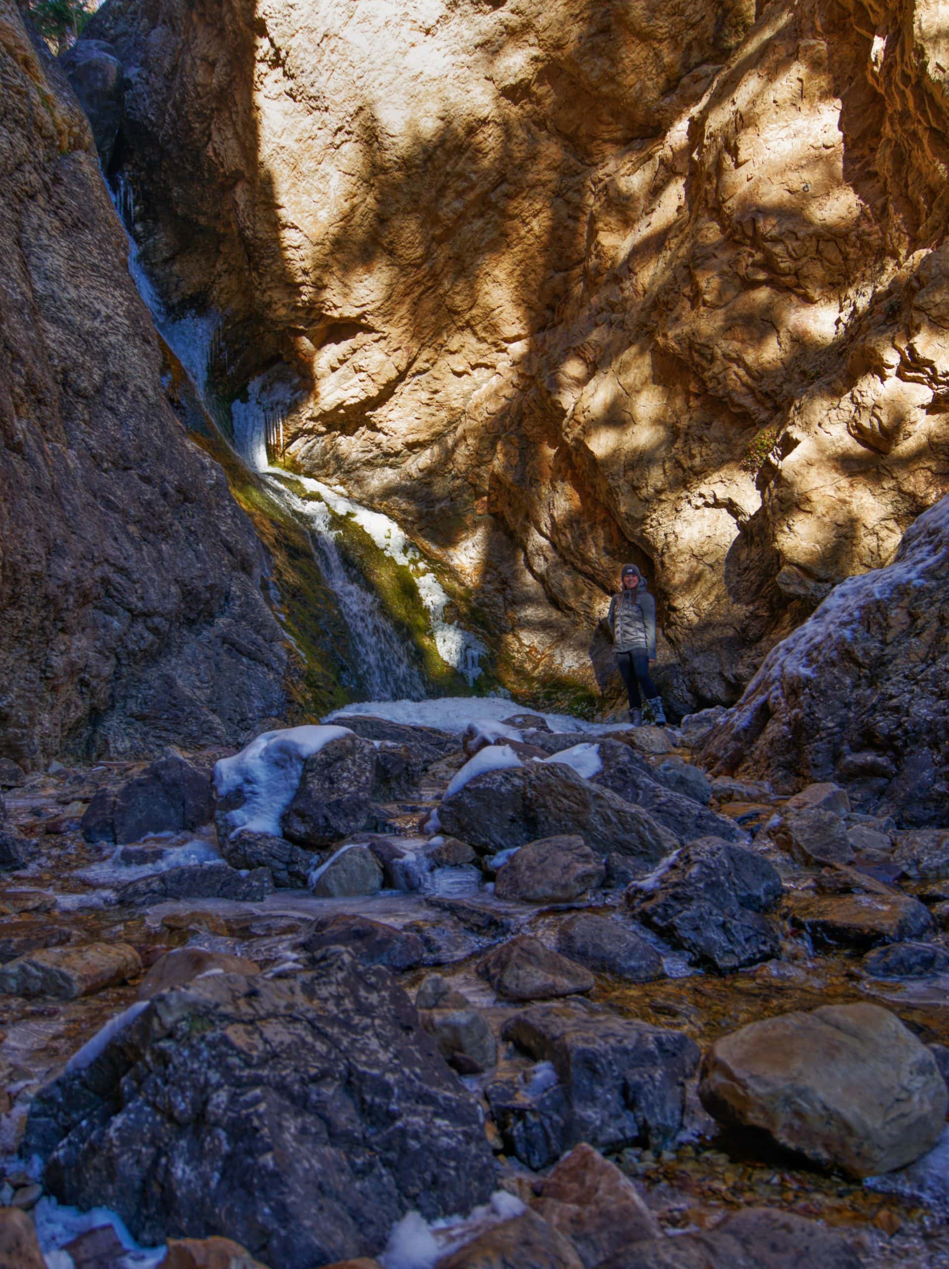
2. Donut Falls
Ask any local, and they’ve likely been to Donut Falls at some point. It’s one of the Wasatch’s most unique waterfalls, where the stream drops through a donut-shaped hole in the rock into a small cave below.
Parking is limited at the summer trailhead, which sits at the end of a short dirt road, so many hikers instead start from the main road. Please avoid walking the dirt road; a newer trail bypasses it, and cabin residents have asked hikers to use that route.
Although Donut Falls is often labeled an easy, family-friendly hike, the final stretch surprises many first-timers. Reaching the falls requires a short downclimb and a brief scramble to enter the cave.
Pro tip: Avoid peak spring runoff (April–June), when high water can make the cave inaccessible.
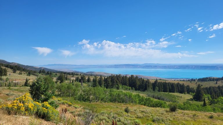
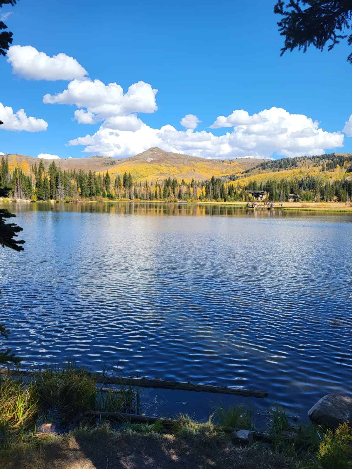
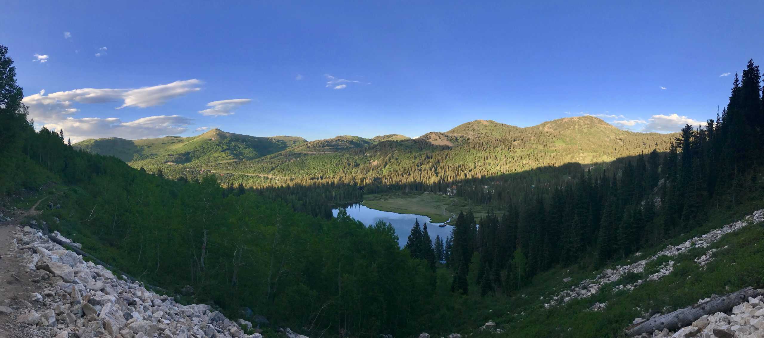
3. Silver Lake (Brighton)
Silver Lake sits at the end of Big Cottonwood Canyon and is an easy hike with a boardwalk that circles the scenic alpine lake, offering incredible views of the surrounding mountains.
It is a great hiking trail year-round, and in winter it transforms into the Solitude Nordic Center, offering snowshoeing and cross-country skiing. It’s also one of the best hiking trails in the Wasatch for fall colors.
It is also wheelchair accessible.
For the perfect day trip, you can combine all three hikes into one longer outing, stop at a few random pull‑outs, explore both Brighton and Solitude resorts, and then drive over Guardsman’s Pass (open in summer). End the day with dinner in Park City before returning to Salt Lake City.
Moderate Hiking Trails In Big Cottonwood Canyon
These seven hikes offer picturesque views, lakes, and waterfalls! The majority of hiking trails in Big Cottonwood Canyon would likely fall into the moderate category, but as a reminder, these ratings are subjective. Most of it can be done in a half day or less, making them ideal outings! I have done many of these hikes after a 8 hour work day!
4. Mill B North to Overlook
For a long time, this was my “go-to” hike whenever I needed a quick escape to the mountains. A relatively short hike with a big payoff, you will be rewarded with incredible views of several Wasatch 11’ers and Mill B South Fork (the canyon that Lake Blanche sits in).
After three long switchbacks, the trail will begin to turn left, and you will come up to a sign to the overlook. Shortly before the sign, there’s a second unmarked path that takes you up and over the rocky outcrop to a small meadow, which is my preferred spot for a snack!
Bonus: Stop by Hidden Falls before or after the hike. It’s a short, worthwhile detour right at the beginning of the trail.
5. Moss Ledge Waterfall
Moss Ledge is a true hidden gem. My first memory of the area was visiting the picnic area as a young teen; unfortunately, that site no longer exists. Today, a short scramble with a bit of route-finding leads you to this secret, tucked-away waterfall.
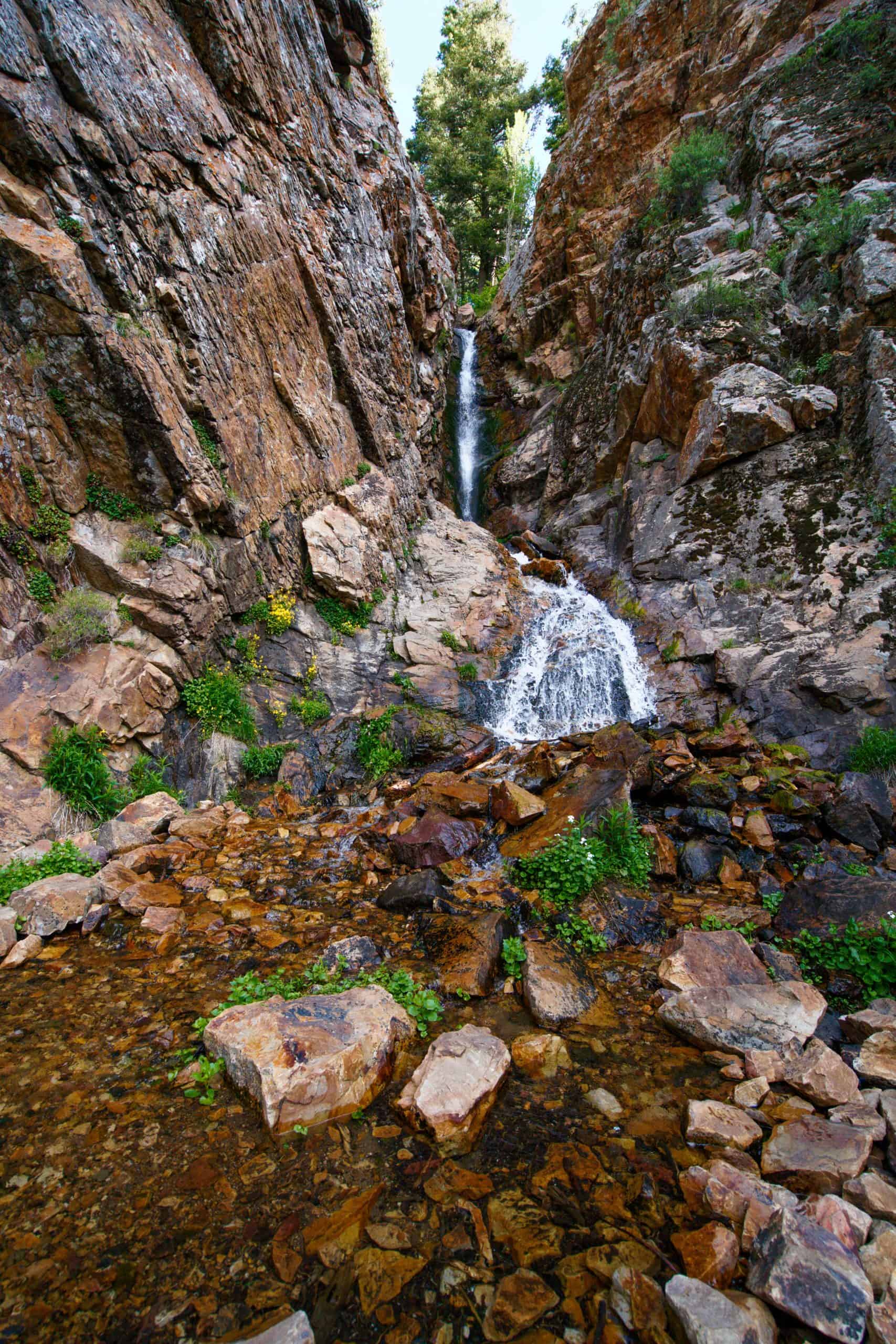
To get to the waterfall, you’ll need to be comfortable climbing over rocks, navigating slick surfaces, and dodging branches. The hike is short but steep, and as long as you stay close to the stream, route-finding is straightforward. It’s also an excellent way to cool off during the hot summer months!
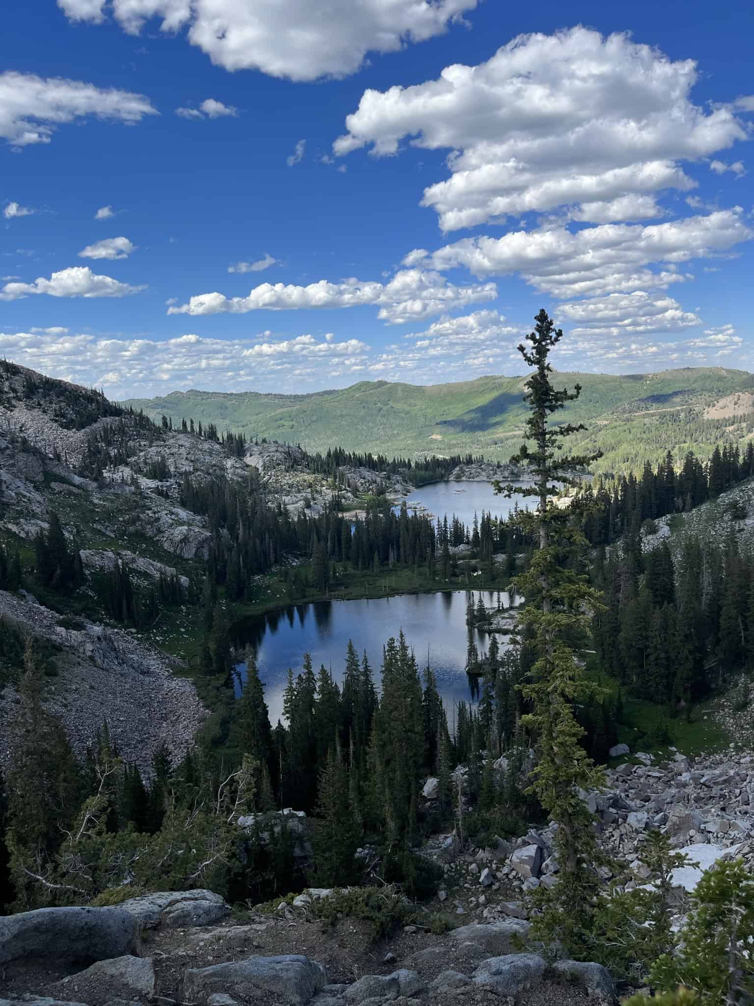
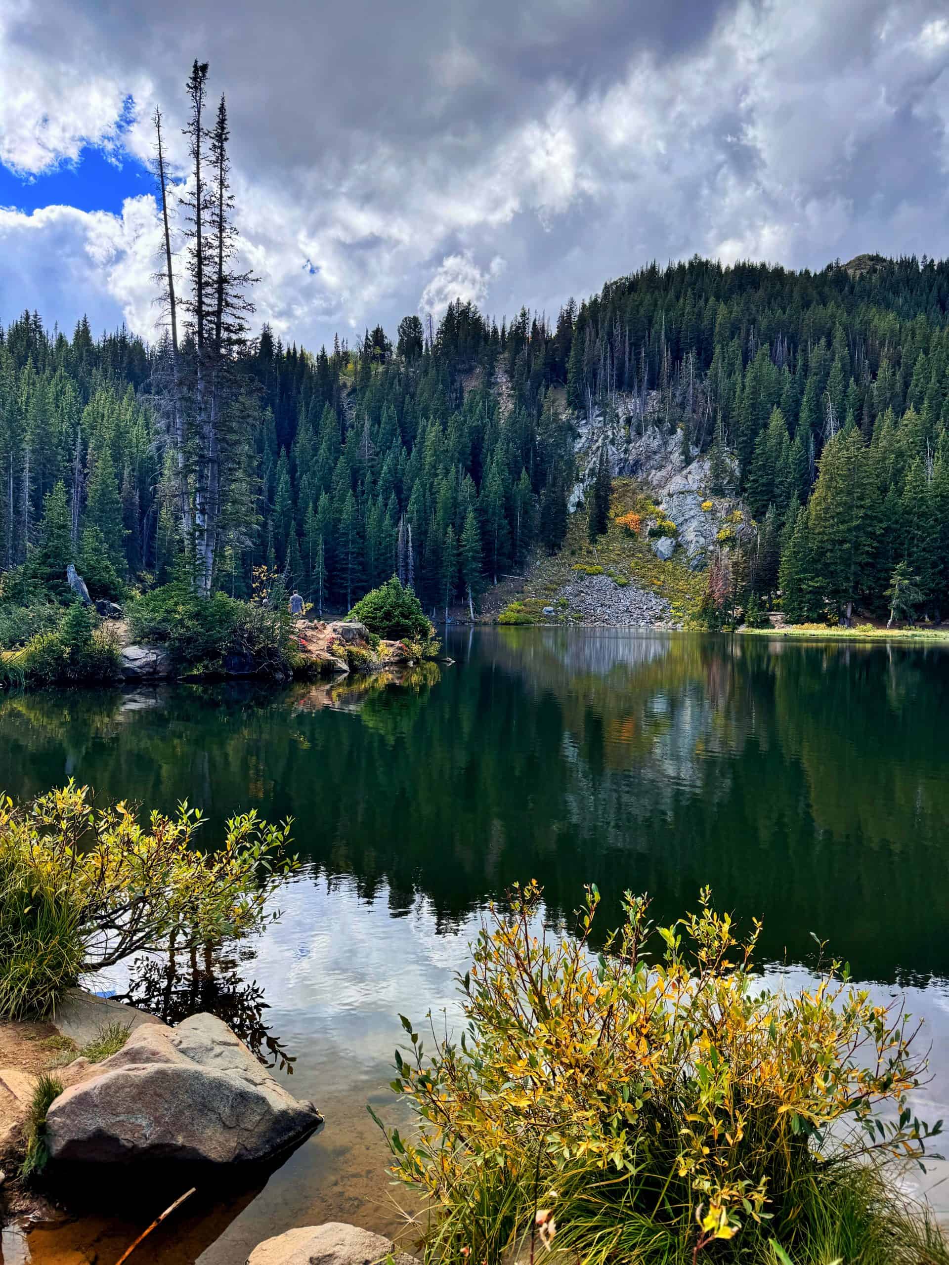
6. Desolation Lake via Mill D North
Desolation Lake is an underrated gem, especially compared to nearby standouts like Lake Blanche or the Brighton Lakes. Its emerald-green water is surrounded by open meadows, aspens, and pine trees, giving it a peaceful, less rugged kind of beauty.
The trail is long but well-graded and connects to a larger network of routes, including the Desolation Trail and the Wasatch Crest. This makes it popular with mountain bikers and trail runners. Parking is plentiful at the trailhead, though as of 2025, a fee is required.
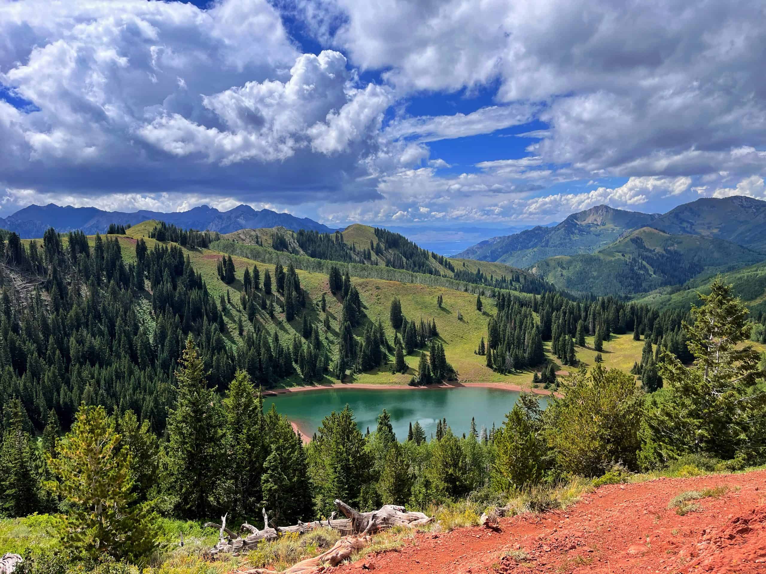
For a longer day, hike up to the pass just east of the lake. This extension turns the outing into a 10-mile (16 km) round trip with about 2,356 feet (718 m) of elevation gain, and the view overlooking the lake is well worth the effort.
Pro tip: bring a hammock – the south end of the lake is perfect for relaxing.
7. Willow Heights Lake
Full disclosure: the lake at the end of this trail is more of a small pond, but it makes for an incredible photography spot, especially with the reflection of the aspen trees. This also makes it one of the best hikes for fall colors in the canyon.
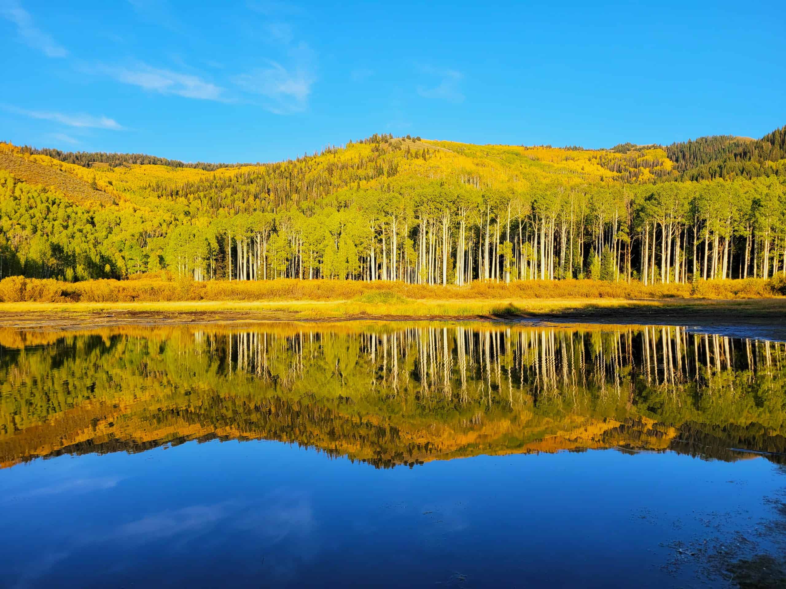
The hike is short and straightforward, and can be as short as 2 miles (3.2 km) if you skip the loop around the lake. That said, circling the aspen grove is well worth it; it’s one of the densest aspen groves in the canyon and stunning in every season.
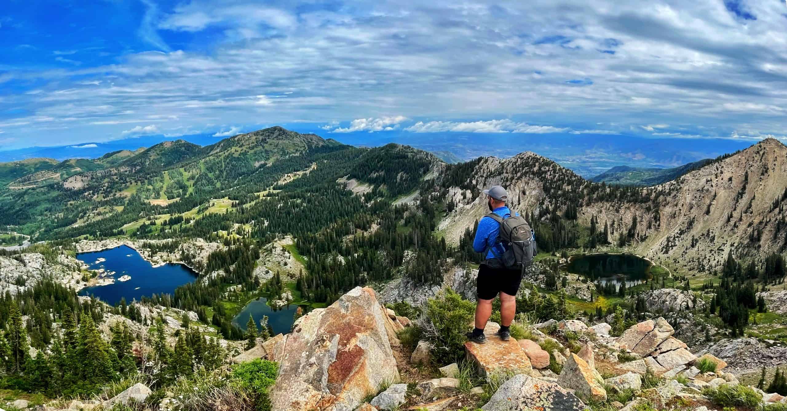
8. Brighton Lakes Loop
This loop hike strings together seven alpine lakes in a single outing, something you won’t find anywhere else in the Wasatch. It’s a perfect route if you want nonstop scenery without having to choose just one lake.
The loop starts at Brighton Resort on the Lake Mary Trail, with a quick side trip to Dog Lake before continuing to Lake Mary, Lake Martha, and Lake Catherine. After topping out on Catherine Pass, the route backtracks to Lake Mary, then connects to Twin Lakes, Lake Solitude, and Silver Lake before returning to the trailhead.
For easier navigation, I’ve mapped this exact loop on AllTrails, definitely worth checking out before you go.
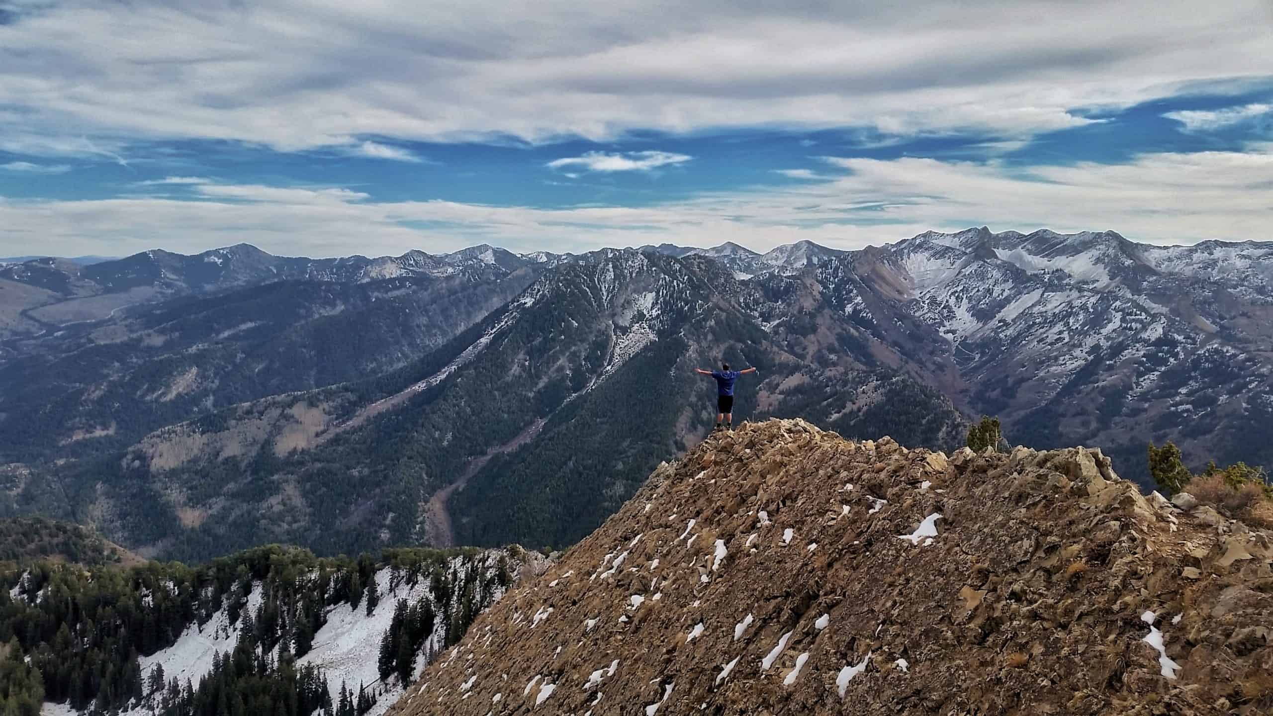
9. Sunset Peak
As the name implies, this little peak offers amazing sunset views! I’ve hiked it many times, and I can confirm that it always delivers. It is beautiful any time of day or season, but winter access is cut off by the resorts on both sides.
Both sides? Sunset Peak sits on the Brighton Ridge, straddling Upper Little Cottonwood Canyon from Upper Big Cottonwood Canyon. While a route from Alta in Little Cottonwood exists, I favor the Brighton trail.
The Alta route begins at the Catherine’s Pass Trailhead and is shorter (4 miles and 1300 feet), BUT the Brighton route passes by Dog Lake, Lake Mary, Lake Martha, and Lake Catherine. Additionally, the Alta route requires a $10 fee to drive to the trailhead.
I am a little biased, but four lakes and free parking are worth the extra 2 miles and 700 feet of climbing!
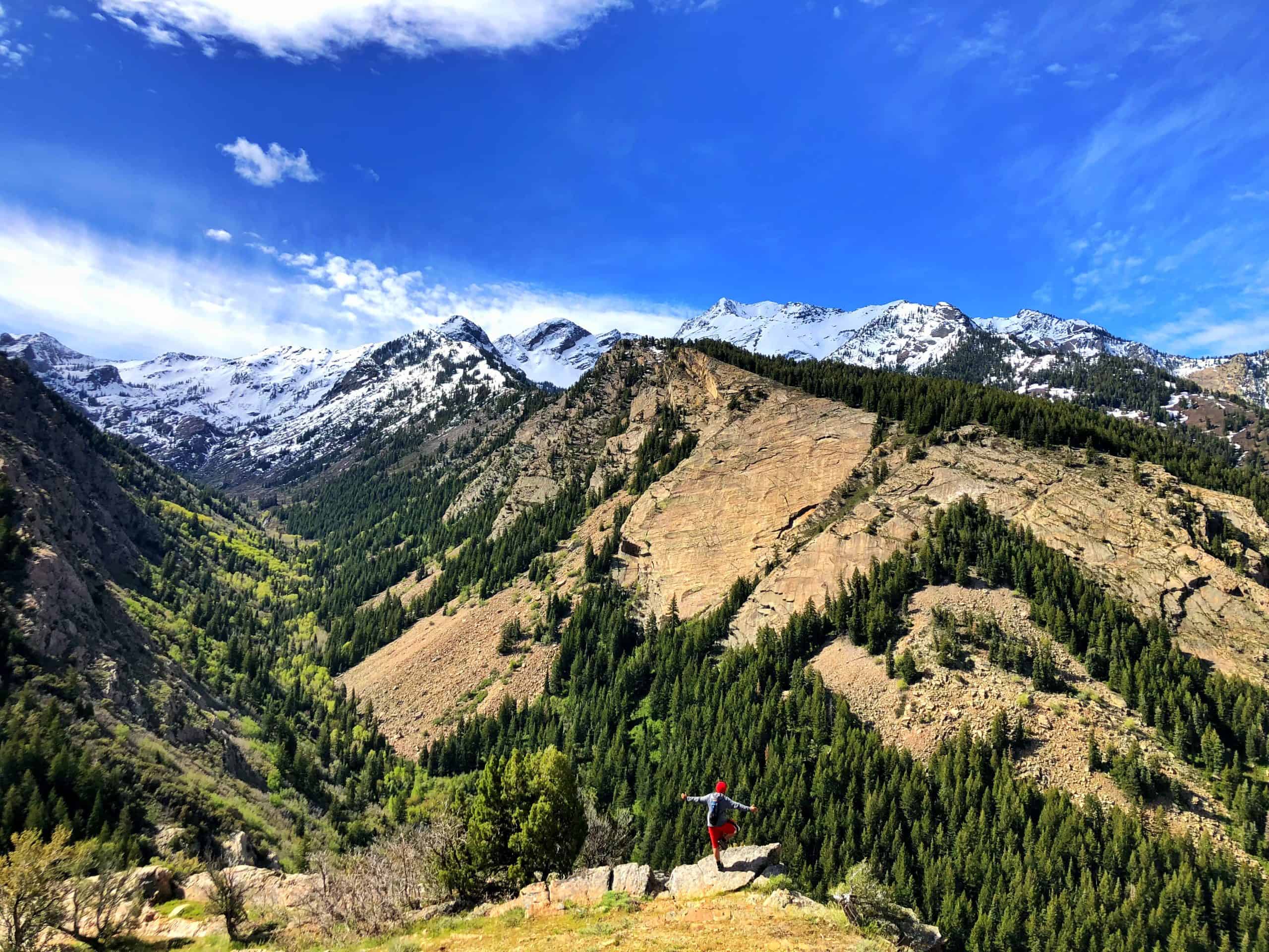
10. Clayton Peak
Clayton Peak is one of the best hikes near Salt Lake City, with incredible views overlooking Big Cottonwood Canyon. The summit is located on a high ridge along the Wasatch Crest, and while most of the trail is straightforward, the final quarter mile is steep with a bit of easy rock scrambling.
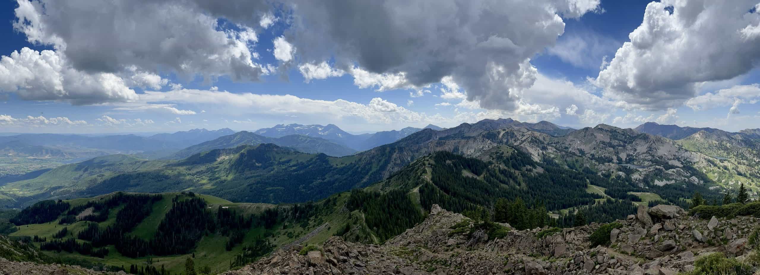
One of the best parts of this hike is how many great stops you can enjoy along the way, which make for great turnaround points if you’re limited on time. At 1.5 miles (2.4 km), you’ll reach Bloods Lake, and at 2.1 miles (3.4 km), a trail split leads to a short detour to Lackawaxen Lake.
Both lakes offer beautiful scenery, but Lackawaxen is quieter and more secluded, with peaceful views that make it well worth the extra steps.
Difficult Hiking Trails In Big Cottonwood Canyon
These five hikes are among my absolute favorites in the canyon, with each one rewarding your hard work with breathtaking views and unforgettable moments. While seasoned hikers might find them manageable, remember: difficulty is subjective. No matter your experience level, the payoff is always worth it.”
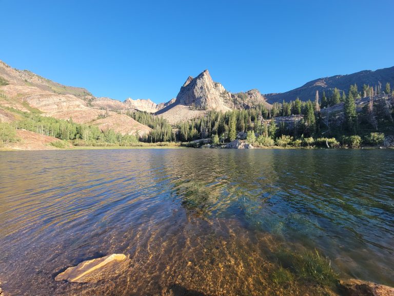
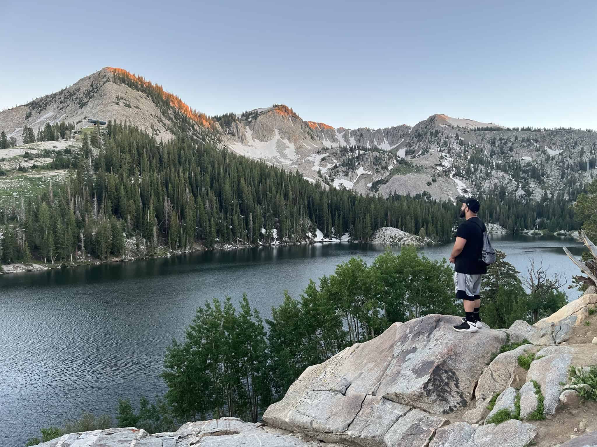
11. Lake Blanche
Lake Blanche hardly needs an introduction, but it’s still the hike I recommend when someone asks for just one must-do trail. It also happens to be a personal favorite: I completed this hike for the first time at 13, and returning each year has become a tradition I never skip.
Because of its popularity, an early start is key. Weekend mornings fill up fast, and I’ve hit the trail as early as 6 a.m. to avoid the crowds. The parking lot fills quickly and cars spill onto the road, so plan accordingly.
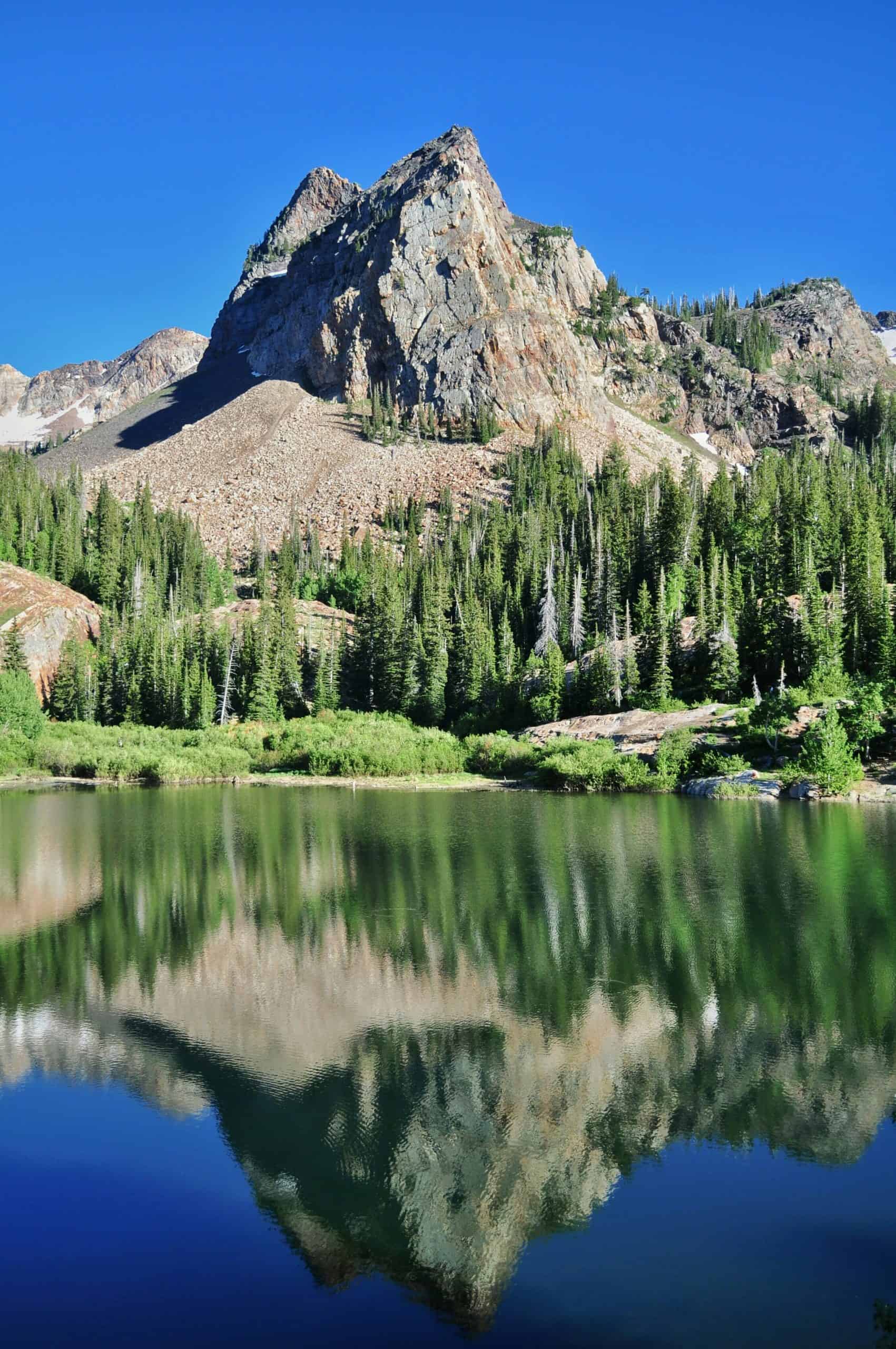
One of the best things about Lake Blanche is that it’s a true four-season hike. Fall brings glowing aspens and crisp air, while winter offers a quieter, solitary experience, if you’re prepared. Always check trail and avalanche conditions before heading out, and bring microspikes when icy or snowshoes after fresh snowfall.
Pro Tip: Give yourself a few hours at the lake. There are two bonus lakes just to the west, a waterfall to the south, and maybe even a few other hidden gems I have yet to discover!
12. Broads Fork Trail To Meadow
While it shares a parking lot with Lake Blanche, Broads Fork sees far fewer hikers. The view at the meadow is incredibly underrated, with three Wasatch 11‑ers towering above you and a little pond nearby, making it perfect for a relaxed break.
Moose sightings are frequent on this trail; in fact, I can’t think of a time I haven’t seen one! The trail is short but consistently steep the entire way.
13. Mount Raymond and Gobblers Knob
These two peaks crown the ridgeline between Big Cottonwood and Millcreek Canyons, making them accessible from both sides. This route starts at Butler Fork, climbs to Baker’s Pass, and from there, Gobblers Knob is to the east via a steep trail, or Mount Raymond is to the west, which includes a short Class 3 scramble.
The stats above cover just one peak, but you can tackle both in a single 10-mile (16 km) run. 3,900 feet (1,190 m) outing. The reward? Stunning 360-degree views across both canyons that make every step worth it. I mean, how do you beat these incredible views?
14. Reynolds Peak via Mill D North
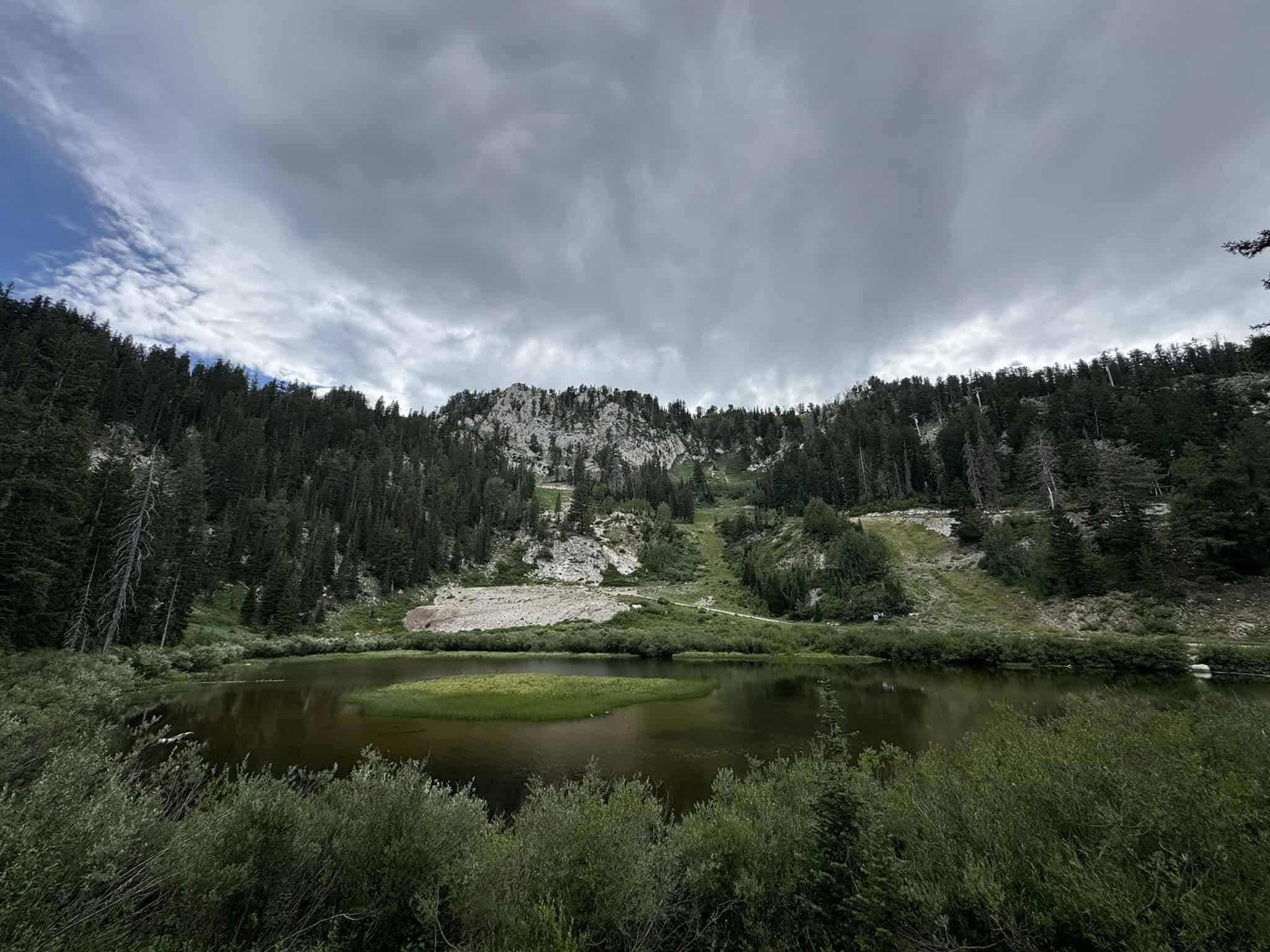
This hike is a hidden gem hiding in plain sight. Mill D North is a popular trailhead, but most hikers head toward Desolation Lake or stop at Dog Lake, leaving Reynolds Peak surprisingly overlooked. To get to the peak, you will pass by Dog Lake.
The summit offers incredible 360-degree views that rival Gobblers Knob for less effort. However, Dog Lake isn’t the prettiest lake in the Wasatch. Most people visit the lake with their fur babies.
Note: Dogs are allowed at Dog Lake only when hiking from the Millcreek side. The lake has no outlet and doesn’t feed into the watershed, but the Big Cottonwood side is watershed. This Dog Lake is different from the Dog Lake included in the Brighton Lakes hike.
15. Brighton Peaks Traverse
This hike can be as long or as ambitious as you want it to be, depending on how many peaks you choose to bag. There are up to 10 summits along the ridgeline, though the most common route includes four peaks. No matter how many you tackle, you’re rewarded with stunning views the entire way.
To make planning easier, I’ve built both route options on AllTrails. Check them out before you go!
Technical Hiking Trails In Big Cottonwood Canyon
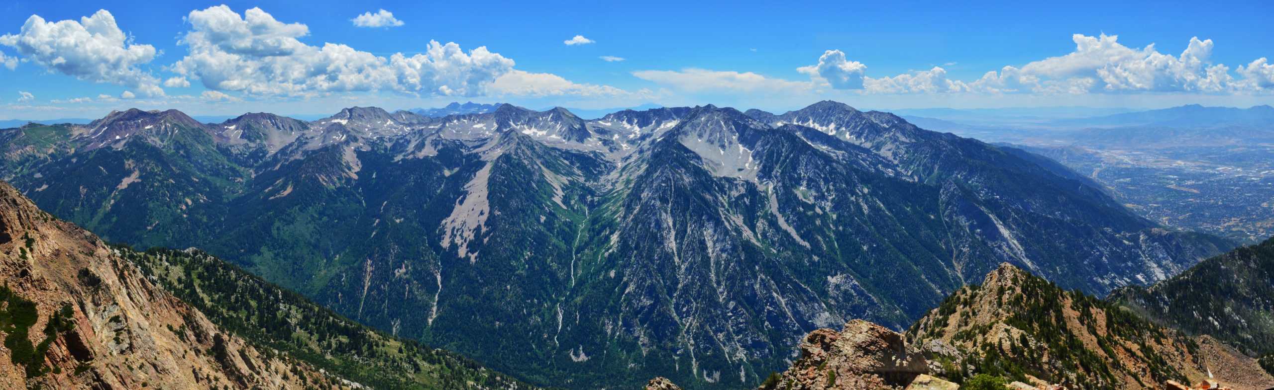
16. Broads Fork Twin Peaks
The Broads Fork Twin Peaks are among the most rugged and challenging Wasatch 11,000-foot peaks. The west summit rises to 11,330 feet (3,454 m) above sea level, an impressive 7,000+ feet (2,130+ m) above Salt Lake Valley.
Beyond the meadow, two routes continue toward the summits, both off-trail and involving steep, loose scrambling. This is not a beginner route and requires strong route-finding skills and proper preparation. For those who are ambitious enough, the reward at the summit is something I can’t put into words, and you’ll truly feel accomplished!
Best Fall Hiking Trails In Big Cottonwood Canyon
Here’s how I’d rank the best fall hiking trails in Big Cottonwood Canyon:
- Willow Heights Lake
- Silver Lake
- Desolation Lake
- Reynolds Peak
- Wasatch Crest Trail (drop-off only; difficult trailhead access)
- Clayton Peak
- Gobblers Knob (Circle All Peak if short on time)
- Lake Blanche
- Mill B North
- Broads Fork Meadow
If you know the area well, you’ll notice a clear theme: the best fall hikes sit in the mid-elevations, roughly 6,000–9,000 feet, where aspens thrive. This elevation band is where autumn truly shines, with golden aspen groves stealing the show.
That said, don’t overlook the lower canyon. Trails like Mill B North can deliver stunning pops of red thanks to vibrant maple leaves, offering a different, but equally beautiful, fall color experience.
FAQ’s
Have questions about Little Cottonwood Canyon? Here are some of the most commonly asked questions and answers to help you plan your next hike!
Where is the best place to park?
Any marked trailhead or pullout along the canyon road. (excluding winter). For carpooling, there’s a super convenient park and ride located at the base of the canyon.
Do I Need To Pay?
Most of the trailheads in Big Cottonwood Canyon are free to park in, with two exceptions. As of 2025, the Mill D North/Donut Falls Parking Lots and the Silver Lake Trailhead require a fee.
It is $10 for three days. But it applies to all trailheads in the Uinta-Wasatch-Cache National Forest that require a fee. You can find more information here, including a list of the trailheads, which also includes the Uinta Mountains.
I am a big advocate for buying an annual national parks pass, which would cover this fee.
What area should we hike in?
Big Cottonwood Canyon offers a plethora of hikes, and it depends on your goal. For pure scenery, Lake Blanche is hard to beat. If you love seeing multiple lakes in one outing, the Brighton Lakes Loop is the way to go! Hikes around Solitude and Brighton Resorts trade solitude for convenience and comfort.
What is your “must-see” hike recommendation?
Lake Blanche, hands down, but if you’re short on time, Donut Falls is popular for good reason, and the Brighton Lakes are another great option. If you don’t want to hike the full loop, Lake Mary or Twin Lakes are the most scenic of the seven lakes and make excellent shorter outings.
Where is a good place to grab lunch in the area?
There are several food options in the canyon, mainly at the resorts. At Solitude, I love stopping by Stone Haus Pizzeria & Creamery, and I don’t understand the 3.9 rating on Google; I’ve tried their pizza three or four times and enjoyed every bite. It’s consistently delicious and definitely worth a visit.
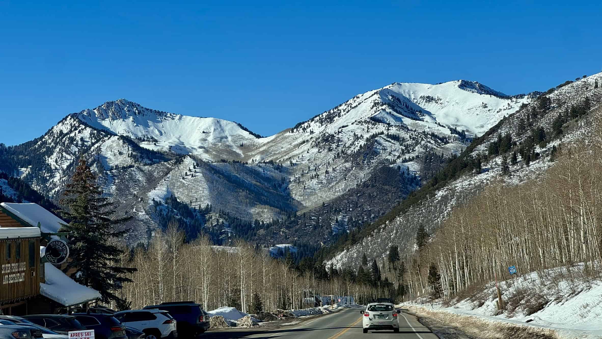
Silver Fork is also a great local option for American food, just off the main road. And if you’re in Brighton, the Brighton store and cafe serves some great ice cream and mouthwatering fried chicken!
Am I allowed to wade or swim in the watershed?
No, you can’t wade or swim, for the same reason you can’t bring dogs into the canyon. All this water is part of the protected watershed.
Are Dogs allowed in the canyon?
No! This canyon is a watershed, meaning it supplies our drinking water. I’ve seen people bring dogs here before (often unknowingly), but if caught, fines are very steep. For dog-friendly hikes, avoid the Cottonwood Canyons.
Tips for beginner hikers
Bring Proper Gear
Bring the right gear! Hiking shoes, a great backpack, trekking poles, and proper clothing make all the difference! However, gear shouldn’t be a barrier to entry, and there are ways to find affordable gear – buying second-hand, thrifting, going to off-price retailers, and outlets.
Stay Hydrated
I always carry 3 liters of water in my reservoir, no matter the hike, even on short outings. I also bring at least 1 liter of electrolytes, plus a water filter or purification tablets, just in case.
Use A Tracking App
With modern technology, getting lost should be far less common than it still is. Apps like AllTrails, OnX, Trailforks, and Gaia make navigation easier and have helped make hiking more accessible than ever before.
Don’t Underestimate The Mountains
Back in 2015, I was talking with Search and Rescue while we waited for them to bring two of our friends down from Lone Peak, one of the toughest Wasatch 11ers. I asked how often they get called out and what the number one reason was.
His response stuck with me: “People underestimate how big these mountains are. They think the summit is closer than it really is. The number one cause for rescues is dehydration, followed by getting lost. The mountain’s proximity to the city creates a false sense of confidence.”
Knowing your limits is an art learned through experience. You’ll be fine most of the time, but it’s crucial to plan for that unlikely 1% when things go wrong. Thankfully, there are plenty of online resources to help you prepare. Learn about the 10 essentials here.
Happy trails. 🌄
Disclaimer
Outdoor conditions can change quickly, and potential hazards can appear without warning. All information is provided without warranty or liability. Always be prepared, use good judgment, and hike within your abilities. Difficulty ratings are based on my personal experience, combined with AllTrails data, and your experience may vary.